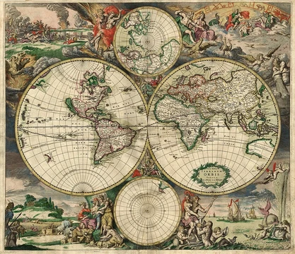
Nautical chart
Graphic representation of sea regions essential for safe navigation.

A nautical chart, also known as a hydrographic chart, is a graphic representation of a sea region or water body and adjacent coasts or banks. It is an essential tool for marine navigation, showing depths of water, heights of land, natural features of the seabed, coastline details, navigational hazards, aids to navigation, tides, currents, magnetic field information, and human-made structures. Many countries require vessels, especially commercial ships, to carry nautical charts.
- field
- Hydrography and marine navigation
- known_for
- Essential tool for marine navigation; representation of sea regions, depths, and hazards
- types
- Paper (raster navigational charts) and electronic navigational charts
- data_source
- Hydrographic surveys and bathymetric surveys
- issuing_authorities
- National hydrographic offices; coordinated by the International Hydrographic Organization
Lore & Background
Nautical charts are based on hydrographic and bathymetric surveys, which are laborious and time-consuming, so data for many areas may be dated or unreliable. Historically, depths were measured with a sounding line; modern methods include echo sounding and sweeping with a horizontal wire to check minimum depth over obstructions. All depths are measured relative to a datum to ensure hazards like masts are not missed. Charts are issued by national hydrographic offices and considered 'official,' as opposed to commercial publishers' charts. The International Hydrographic Organization coordinates an international chart series (INT) to unify chart systems worldwide. Charts are updated regularly, sometimes weekly, through sales agents, and corrections are provided via Notices to Mariners, Local Notices to Mariners, and broadcast notices. Corrections are critical because waterways and aids to navigation change. A Chart and Publication Correction Record Card system allows navigators to note corrections on cards and apply them before using a chart. Digital systems like Digitrace, Voyager, or ChartCo provide vessel-relevant corrections. The Canadian Coast Guard publishes a monthly electronic Notice to Mariners for Canadian waters.
Reader's Guide
Nautical charts are indispensable for marine navigation, providing essential information on water depths, hazards, and aids to navigation. These events highlight that no chart is infallible and every chart is liable to be incomplete. The Mercator projection is used on the vast majority of nautical charts because it is conformal, allowing courses plotted on the chart to be used directly as steering courses. The gnomonic projection is used for great circle routes, and NOAA uses the polyconic projection for some Great Lakes charts. Positions are measured from longitude and latitude scales relative to a geodetic datum such as WGS 84. The top of the chart always indicates true north, and most charts include a compass rose showing magnetic variation. Recent technologies allow paper charts to be printed on demand with cartographic data downloaded as recently as the night before printing, incorporating critical updates like Local Notices to Mariners. Despite these advances, the limitations of charts—due to dated surveys or uncharted features—mean that prudent mariners must always exercise caution and keep charts corrected.
Did You Know?
- Nautical charts may be printed on paper (raster navigational charts) or as computerized electronic navigational charts.
- The Mercator projection is used on the vast majority of nautical charts because it is conformal, preserving angles.
- In the United States, NOAA has a printing partner that produces print-on-demand charts containing the latest corrections at the time of printing.
Frequently Asked Questions
What exactly is a nautical chart?
A nautical chart is a purpose-built graphic depiction of a sea area and its adjacent coastlines, created to support safe vessel passage rather than general geographic reference. It layers depth soundings, seabed composition, tidal and current data, and navigational hazard markers onto a single navigable surface.
How does a nautical chart differ from a regular map?
A standard map emphasizes political borders, roads, and terrain, whereas a nautical chart is organized around what a helmsman needs: water depths, shoal locations, wreck positions, buoy and light placements, and magnetic variation. The entire symbol set and layout logic is tailored to steering a vessel through potentially dangerous waters.
Who produces and authorizes nautical charts?
Each country's national hydrographic office drafts and publishes its own charts using hydrographic and bathymetric survey data. The International Hydrographic Organization coordinates these national efforts so that coverage of international waters remains consistent and up to date.
What formats do nautical charts come in?
They are issued as traditional paper (raster) charts and as digital electronic navigational charts (ENCs) loaded onto onboard routing systems. Most modern commercial vessels operate primarily from the electronic version while keeping paper charts as a legally recognized backup.
Why are nautical charts legally required on many vessels?
They consolidate depth information, hazard warnings, and aid-to-navigation details into one reference, making them the primary tool for avoiding groundings and collisions. Most maritime regulations therefore mandate that commercial ships carry them as a basic safety obligation.
More in Map Projections & Cartography Foundations 1-24
Elsewhere in the Map Projections & Cartography Foundations universe
Spotted an error? Know more?
This is a living reference — every entry is fact-audited, and reader corrections feed straight into our audit queue. Suggest an edit · See this site's audit record